
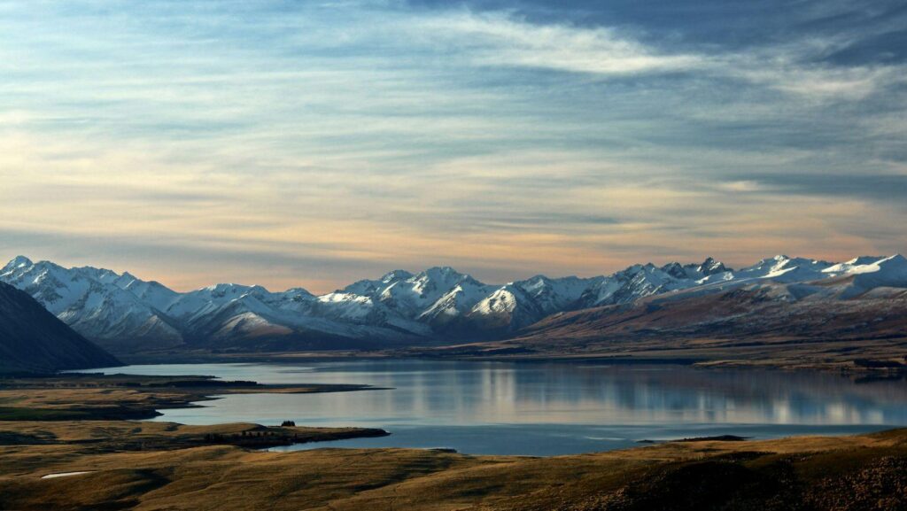
In the mountains, the wind hits forty knots, the temperature plummets, and our phones are suddenly as useful as a paperweight because we forgot to download all the essentials before we went out of cell service.
Topographic Maps Cached for Offline Use
Gaia GPS or FATMAP need to be sitting on your home screen with the offline layers fully rendered before you leave the valley. If you're staring at a spinning loading wheel while the fog rolls across a high alpine ridge, you've already messed up.
We need actual contours, ridge lines, water sources, and shaded relief stored directly on the device's internal flash drive. The internal GPS chip works without cell towers (genuinely lifesaving) allowing you to track your exact coordinates against the terrain.
You can overlay slope angles to spot avalanche terrain traps, map out alternative escape routes, calculate vertical drop, and log your actual pace through the scree.
Localised Avalanche and Weather Trackers
Relying on the default weather app on your phone when you're aiming for a 4,000-meter peak is a spectacular mistake. It'll promise clear skies based on data from a weather station miles away in a sunny valley, completely ignoring the localized blizzard currently ripping the snow off the summit ridge.
For European ranges, White Risk is pretty much the gold standard. It gives you raw snowpack data, wind direction historical charts, aspect overlays, and recent slide paths. We need to know exactly how the wind loaded the leeward slopes overnight and whether the midday sun is going to turn the top layer into a dangerous slush.
Satellite Messaging Interfaces
Lithium batteries hate cold. A smartphone battery can drop from forty percent to dead in about six minutes when exposed to sub-zero alpine air, which makes relying solely on internal phone SOS features a true risk.
Pairing a dedicated satellite communicator to your phone via an app like Garmin Explore is a much safer option. What you end up with is a reliable interface to type out messy status updates to family, download active weather forecasts mid-expedition, ping your exact grid coordinates to basecamp, and coordinate an actual rescue if someone takes a bad slide.
Digital Border Crossing and Security
Landing at an airport with a ninety-liter duffel bag and trying to find a kiosk for physical SIM cards is a miserable start. Alternatively, eSIMs can get to work before you even clear customs.
Then again, the moment we connect to the shaky Wi-Fi at a remote mountain lodge or a busy transit hub, our data is essentially out there on an open network. This is exactly where a reliable VPN becomes non-negotiable. It keeps your banking details secure when you're checking logistics costs from a tiny tea house, bypasses regional geoblocks that suddenly freeze your access to essential cloud storage, prevents bandwidth throttling on highly congested alpine networks, and secures your credentials against standard public-network exploits.