Standing tall at 14,505 feet, Mount Whitney is a beacon for adventurers, challenging and rewarding them in equal measure.
This route, first scaled by John Muir in 1873, is a thrilling blend of hiking, scrambling, and mountaineering. It’s a route that demands respect, preparation, and a healthy dose of courage. For those who dare, the Mountaineers Route of Mount Whitney awaits, ready to offer an experience like no other.
Mount Whitney Mountaineers Route
Pulling off a successful adventure via Mount Whitney Mountaineers Route demands more than just the passion for hiking. Meticulous preparation entails a strong fitness base, appropriate gear, and knowledge of survival techniques it’s paramount.
Physical fitness underpins any successful adventure. Hikers must strengthen their cardiovascular base through regular exercises like running, cycling or swimming. Incorporating strength training into a workout regime bolsters endurance, particularly targeting the legs, core and back muscles.
Investing in reliable hiking gear ensures safety and convenience during the trek. For this strenuous journey, it’s advisable to have a robust ice axe and durable crampons. An effective layering system (base layer for moisture wicking, middle layer for insulation and an outer layer for weather protection) ensures optimal protection against fluctuating weather conditions.
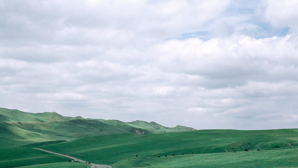
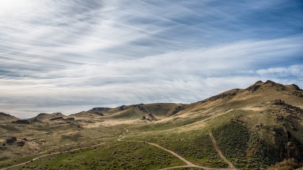
To successfully make a way up Mount Whitney’s Mountaineers Route, one must understand the sequence of its four key sections: Whitney Portal, North Fork of Lone Pine Creek, Lower and Upper Boy Scout Lake, and Iceberg Lake to the summit.
At the outset, the journey commences from Whitney Portal at an elevation of 8,360 feet. Traversers follow the North Fork of Lone Pine Creek trail, which is the first key section. Riddled with log crossings and a complicated trailhead, keeping a trail map handy enhances the chances of correct navigation.
The next part of the journey leads from Upper Boy Scout Lake to Iceberg Lake. This stretch involves crossing the infamous “The Gully,” a steep, loose, and rocky path. Often covered with snow, the use of ice axes and crampons becomes a necessity here.
From Iceberg Lake, the Final 400, the summit pitch, tests the mettle of mountaineers. Featuring a steep scramble, it demands a level of technical climbing skills.
Throughout the journey, accurate navigation can be a daunting task due to unclear trail markings in some sections. The use of a trail map, compass, and GPS device ensures reliability and aids safe passage.
Tips and Tactics for Success
Planning for Mount Whitney Mountaineers Route starts well before boots hit the trailhead. Hikers must apply for a permit from the U.S. Forest Service, as this popular route has limitations on visitor numbers.
Site acclimatization plays a critical role. Adventurers often camp at the Whitney Portal, 8,360 feet above sea level, for a night or two. This brief stay at altitude helps reduce the risk of altitude sickness at higher elevations.
Physical preparation gets the body ready for the rigors of the hike. Include cardiovascular workouts like running, biking, or swimming in your regimen. Incorporate strength training exercises, particularly for the core and legs, into your workout regimen.
Gear selection requires careful consideration as equipment must be lightweight, durable, and suitable for the task at hand. Carry essential mountaineering gear such as crampons, ice axes, gaiters, and ropes.
Nutritional requirements demand additional attention. Hikers burn 6,000 calories or more during the ascent and descent.
Hydration is crucial, particularly to stave off altitude sickness. Drink plenty of water before beginning the ascent and continue hydrating throughout the trip.
Lastly, pace is paramount. A slow, steady pace taxes the body less and allows for enjoyment of the breathtaking surroundings.
Must Know
Tackling the Mount Whitney Mountaineers Route isn’t just about physical strength and endurance. It’s a test of navigation skills, weather prediction, and environmental respect. As climbers, it’s crucial to not only conquer the mountain but to also understand and adapt to the changes brought about by climate change.